|
I began this Discover Atlin website in 2004 to fill a need. I will be discontinuing it soon. I have put many hours of time into this website over the 21 years, but I can't say it was work. It has been a pleasure to toot the horn for my beloved Atlin. |
|
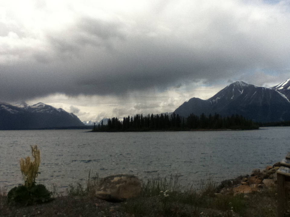
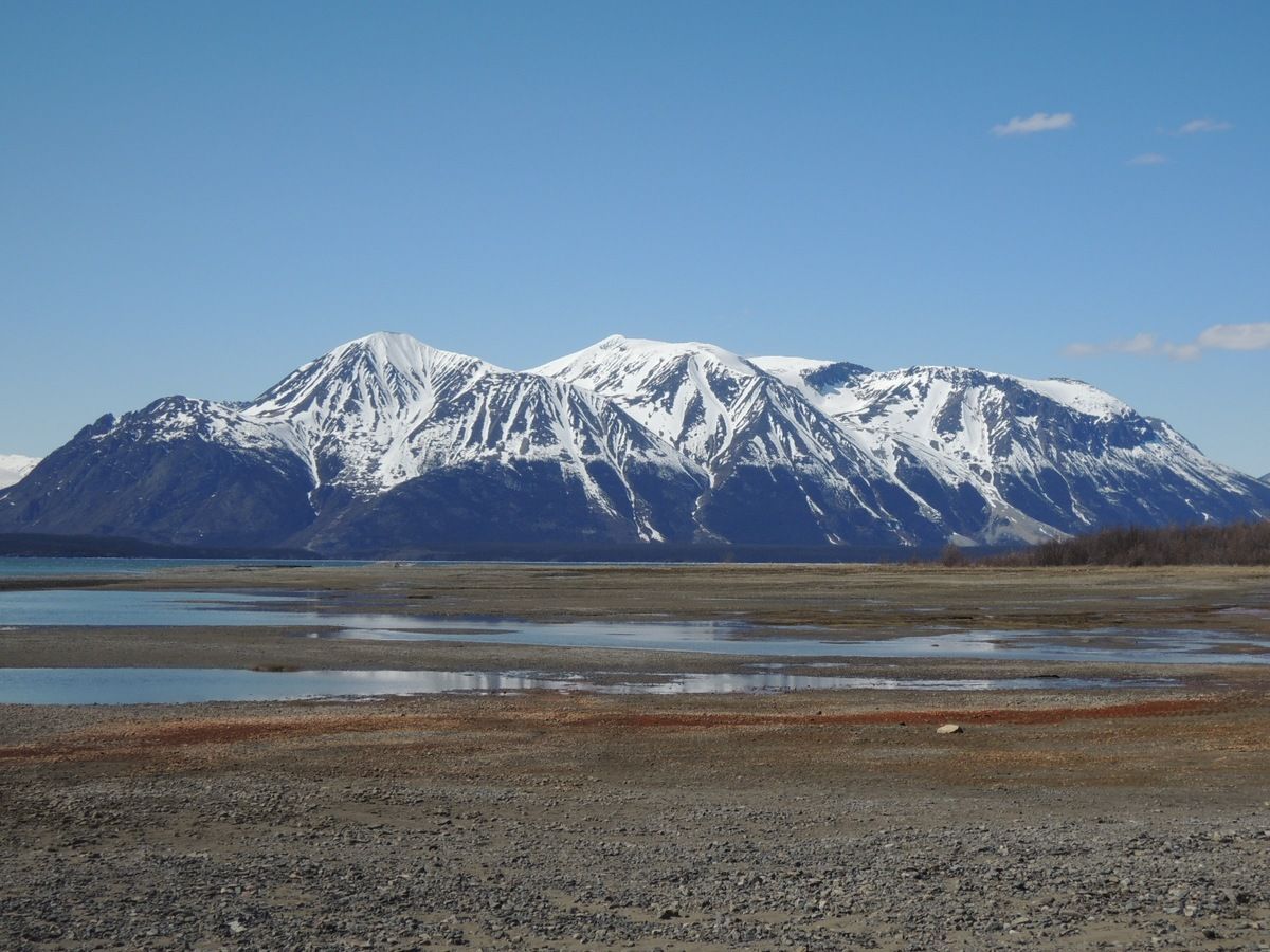
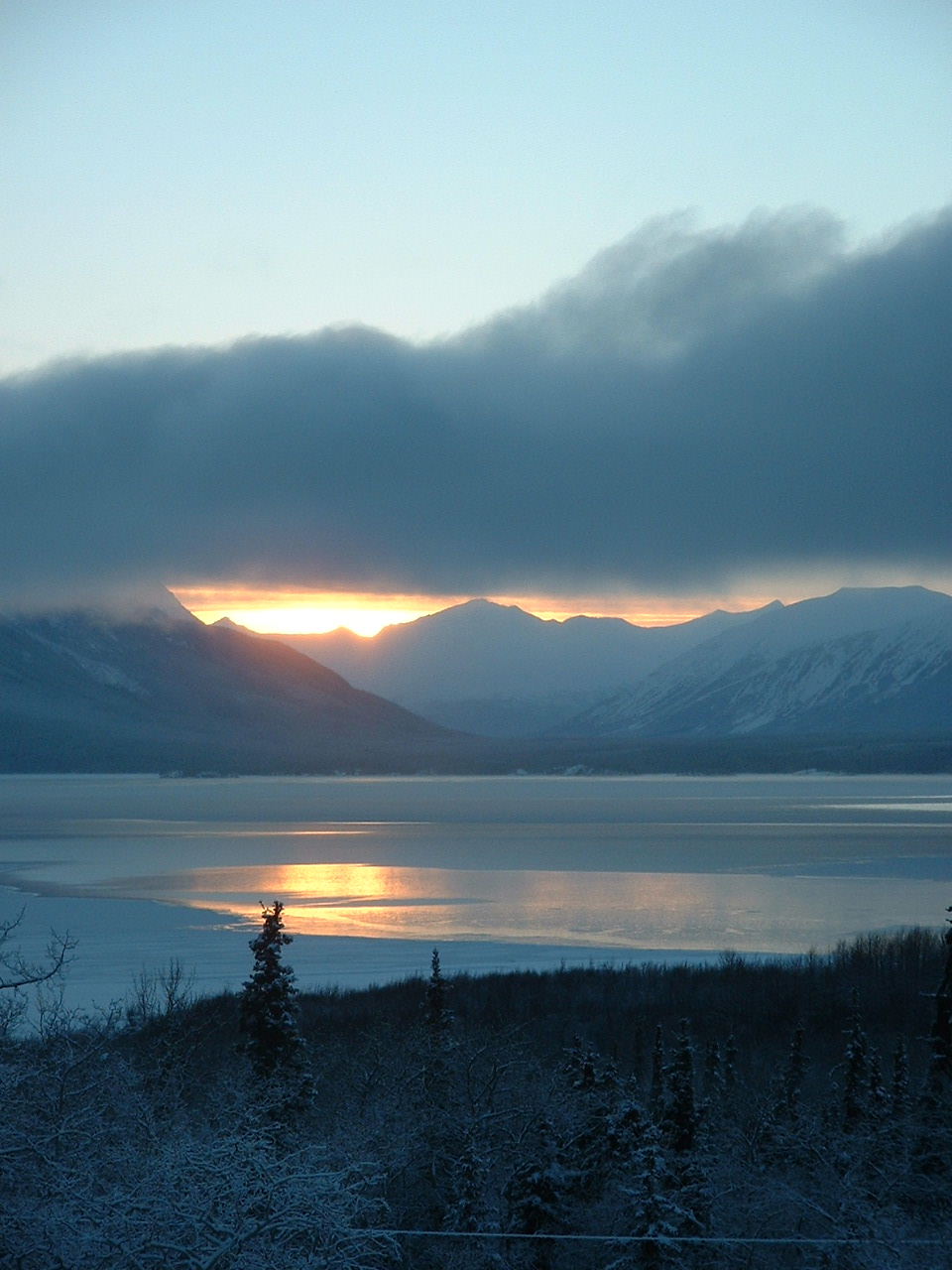
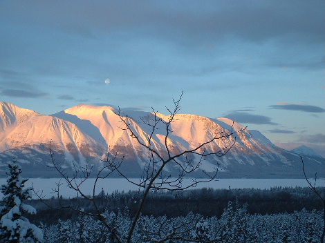
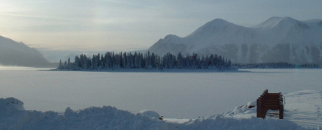
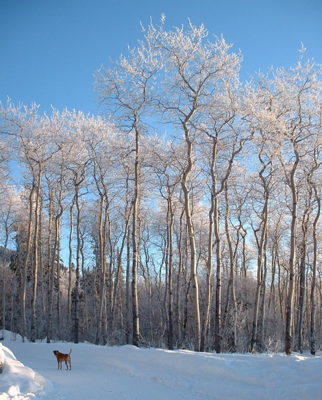
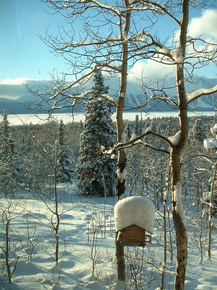
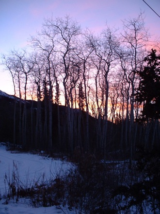
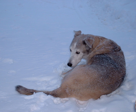
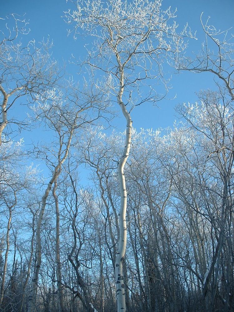
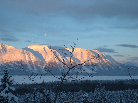
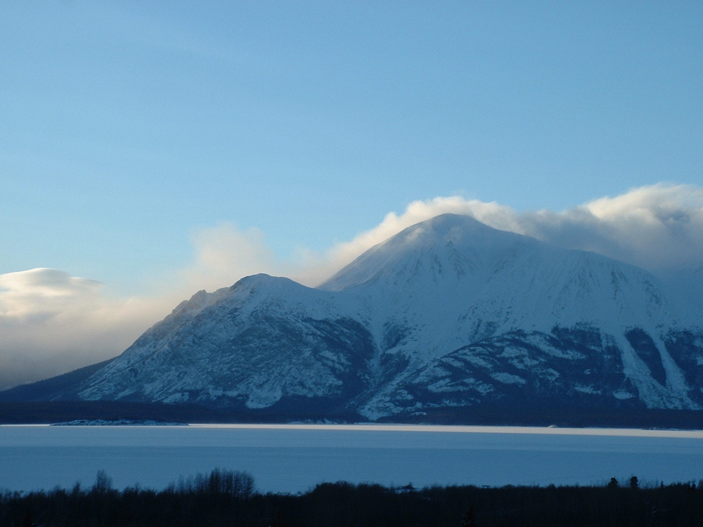
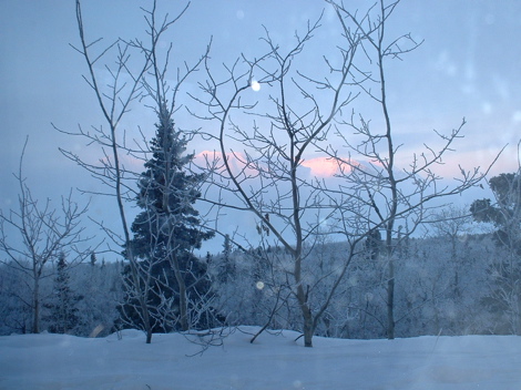
Atlin is the most beautiful place on Earth; in any season, in any weather. |
|
|
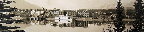 |
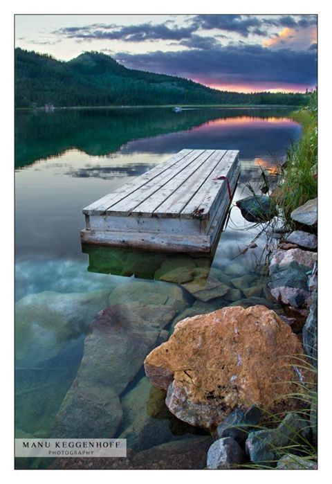
| Photo by Gilbert Taylor 1927 |
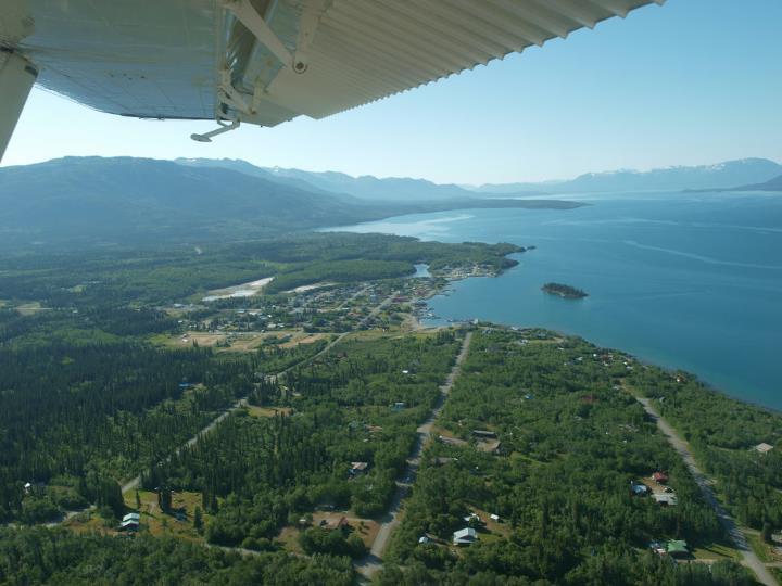
| Atlin is a small isolated community in the NW corner of British Columbia, on the traditional lands of the https://trtfn.com/. Glacial-fed Atlin Lake is 4 miles wide and 85 miles long, in a wide wilderness valley surrounded by snowcapped mountains. Atlin is a 2 to 3 hour drive from Whitehorse Yukon or Skagway Alaska. Current population is 300 to 500 full-time residents. During the Klondyke Gold Rush of 1898, the population was 10,000! Many buildings from that era still exist. Though Mining and Tourism underpin the economy of Atlin, there is a large and very influential number of artists, artisans and authors in this very special little-known community. Please note: Atlin finally got cell phone service in February 2025. |
|
|
|
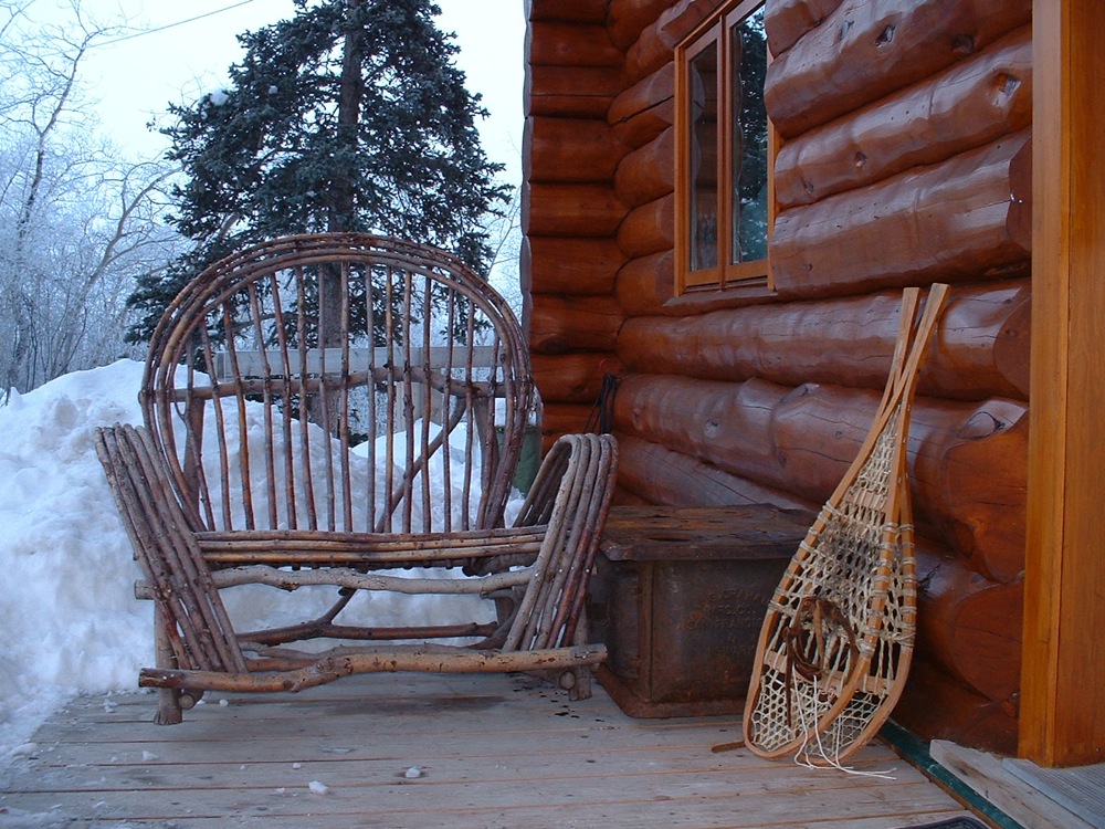
Accommodations in Atlin - You'd be very happy in any of these accommodations I think.
Rent a cabin with lake & mountain views, or go houseboating on Atlin Lake https://www.atlincabinandhouseboatrentals.ca/
|
 |
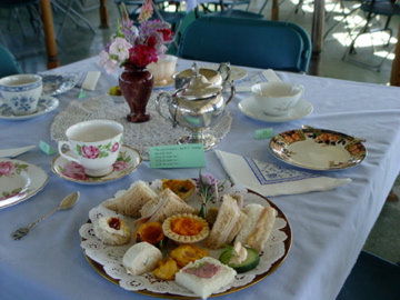
the annual Tarahne Tea Hosted by the Atlin Historical Society on the MV Tarahne, the Tarahne Tea is held in early July as a fundraiser for the boat. Confirm closer to the time for next year. Tickets will be available at stores in Atlin, and at the Museum. 250-651-7522. |
||
 |
|
||
| Tiny perfect sweets and savouries. photo by Diana Thayer |
|||
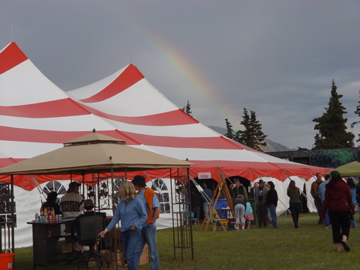 |
the annual Atlin Arts and Music Festival! The Atlin Arts & Music Festival is held in July. See their website for more information. https://atlinfest.ca/ photo by Allan Sheppard |
||
 |
Re-discovering
http://blog.hellobc.com/re-discovering-the-charm-of-atlin/
the Charm of Atlin blog by Murray Lundberg "Atlin was one of the places that convinced me that I belonged in the north... "
|
||
 |
|||
|
|
Atlin Mountain Biking Website is up. it's only a beginning and more details need to be added etc. but at least it should get you started! http://atlinmountainbiking.weebly.com |
||
|

|
|
 |
|
|||
 |
 |
 |
|||
|
|
 |
 |
|||
 |
 |
 |
|||
 |
 |
 |
|||
 |
 |
 |
| Things to see and do in Atlin |
||
 |
 |
|
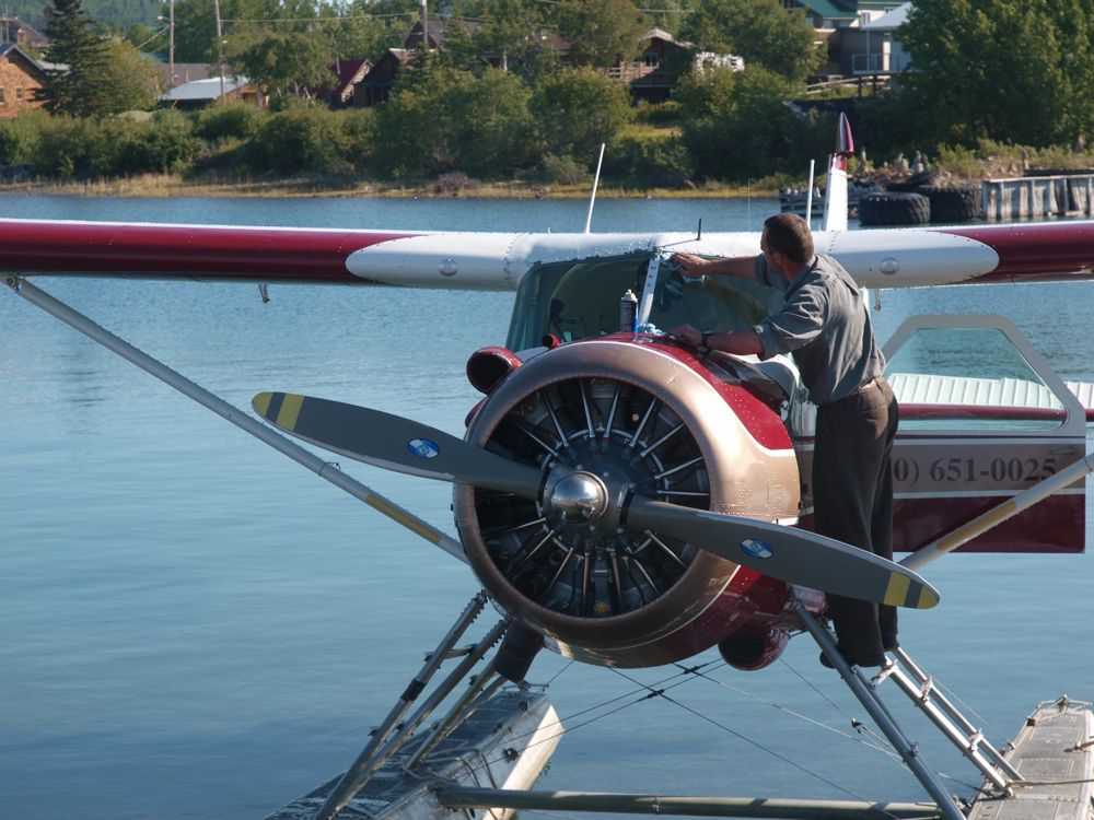
| Pilot Chris Moser of Atlin Air flying a Beaver - photo by Mike Johnson, Colorado | photo by Mike Johnson, Colorado | |
 |
 |
|
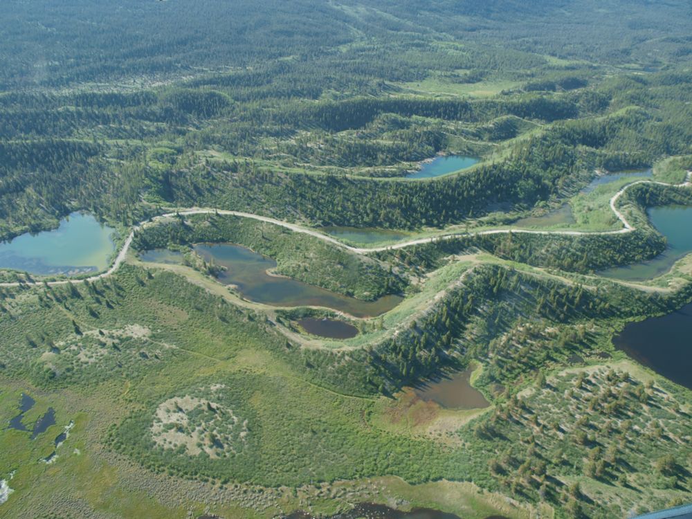
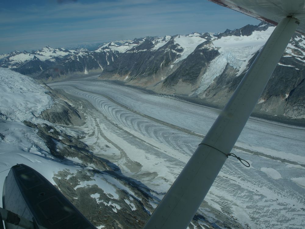
| World Class Eskers at McDonald Lakes north of Atlin - photo by Mike Johnson, Colorado | World Class wave ogives in the Juneau Icefields south of Atlin- photo by Mike Johnson, Colorado | |
 |
 |
|
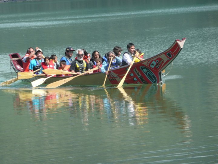
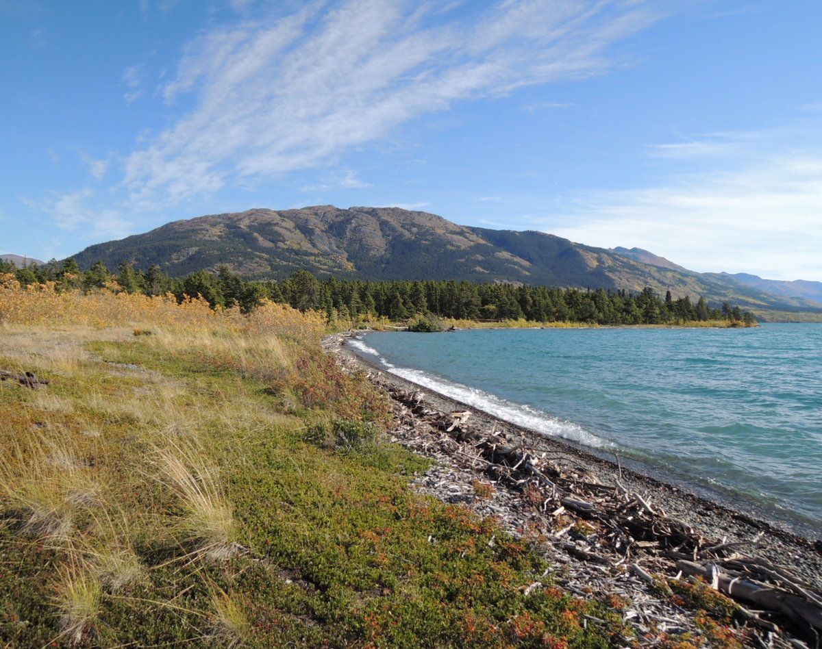
| Taku River Tlingits in the Big Canoe on Atlin Lake - photo by Wayne Carlick | Autumn View of Monarch Mountain from a beach on Atlin Lake | |
 |
 |
|
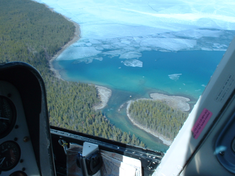
| May 2009 - Mouth of the Atlin River.See photo album "The Taku Railway" on Discover Atlin facebook |
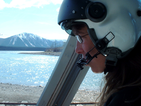
Chopper driver Rhianna Rasmussen of Discovery Helicopters on the shore of Tagish Lake at historic Taku Landing Railway Station, Atlin BC | |
 |
Three grizzly cubs at Nakina Adventures watch Mom fish for salmon. Photo by Jean Polfus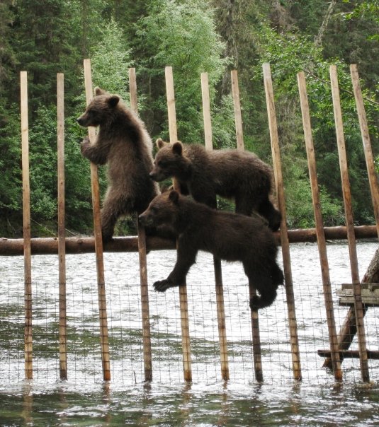 |
|