|
Travelogues |
|
You might want to print this off before your trip. Bring it with you. |
|
Ahead of you is a long broad valley. Atlin Lake, Little Atlin Lake and the community of Atlin are in that valley. There are mountains to your left made of white granite, with evergreens at the base. From Jake's Corner, follow Highway 8 for about 2 km. Turn left at Highway 7 (The Atlin Road). Highway 7 runs down the East (left) side of the Atlin Lakes; sometimes it runs along the lakes and sometimes inland; sometimes it’s scenic and sometimes not. Different terrains. It is 60 miles or 100 km long, a good paved road maintained year ‘round. Speed limit 90 km (54 miles) which you should have no difficulty keeping. There are two STOP signs on Hwy 7; one at the north end and one sign 100 km away at the south end. Obey them. |
|
|
 |
|
22 km - (12 Mile Hill) - The road formerly ran straight up this long hill. The road has a new route now. Cell phones will soon lose their signal. However, Atlin now has cell phone service. The top is a plateau. This is the area of interior lakes. There was a burnover in this area 50 years or so ago. Trees grow slowly here due to climate and soil; the slow regrowth is obvious. Look deep into the pine forest, you can see burnt out stumps and fallen burned trees. Tarfu and Snafu Lakes were named this when the road was built in 1949. They are obviously named with a WWII sensibility (SNAFU means Situation Normal All Fudged Up; TARFU means Things Are Really... ). Prior to 1949, supplies and passengers came to Atlin by ice travel over Tagish Lake, Marsh Lake, etc. in the winter. And by boat in th summer. |
|
|
32.5 km - Sweet little log cabin. "Affordable Housing". Much photographed. Not really very old; just falling down. This is probably an original trapper's cabin. |

|
38 km - Nice view of Mount Minto. The local Tlingit name is K'iyán. (KEE-on) It's an old volcano; a big flattened cone-shaped mountain. It’s on the border between Yukon and BC. Photo at right. 42.5 km - Long stretch of road. The BC/Yukon border is coming. Precisely where you see the ‘Super Natural BC’ sign and the Yukon ‘Welcome to the Magic and the Mystery’ sign, is the 60th parellel. |
|

|
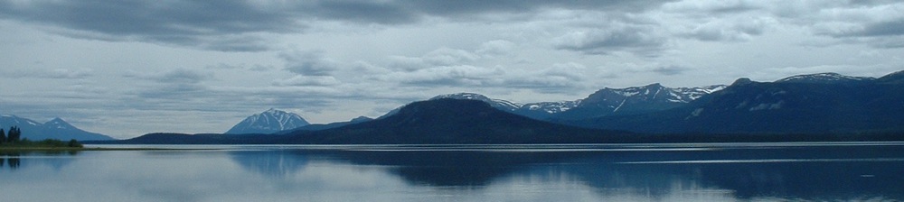
52 km - Atlin Lake is laid out before you. Beautiful! 61.3 km - Base Camp Creek - name is from 1949, has a WWII quality. |
|
70 km - Ranchlands, outskirts of Atlin - note the various kinds of fences. Horses used to be allowed to free-range. Since many horses were only used for summer expeditions or fall hunting, they were turned out for the rest of the year. Horses would wander throughout town, and along the roads. Many of us miss them. Gardening note: Atlin has 61 growing days, and has frost every 30 days all summer. Growing time for potatoes, from transplant to harvest, is 61 days! Impeccable timing required for that crop! 82.6 km - Davey Hall Lake - Straight ahead, you’ll see a snow-covered mountain – that’s Birch Mountain, the highest peak in a freshwater lake in the world. Birch Mountain is on Teresa Island. Tlingits call it Goat Island. |
|
|
|
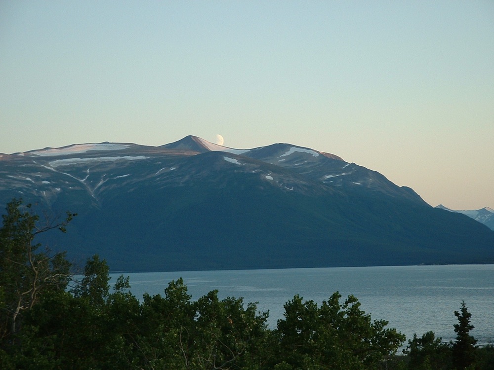
Birch Mountain on Teresa Island |
 |
|
 |

|
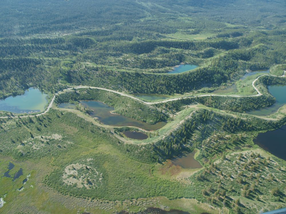
86.2 km - on your left, is the road to McDonald Lakes. In this valley, you'll find World Class eskers*, good fishing, and camping areas. Photo at left above © Mike Johnson, Colorado*ESKERS - Sketch above and description below are from Wikipedia. "An esker is a long winding ridge of stratified sand and gravel, examples of which occur in glaciated and formerly glaciated regions of Europe and North America. |
|
88 km - near Fourth of July Creek |
|
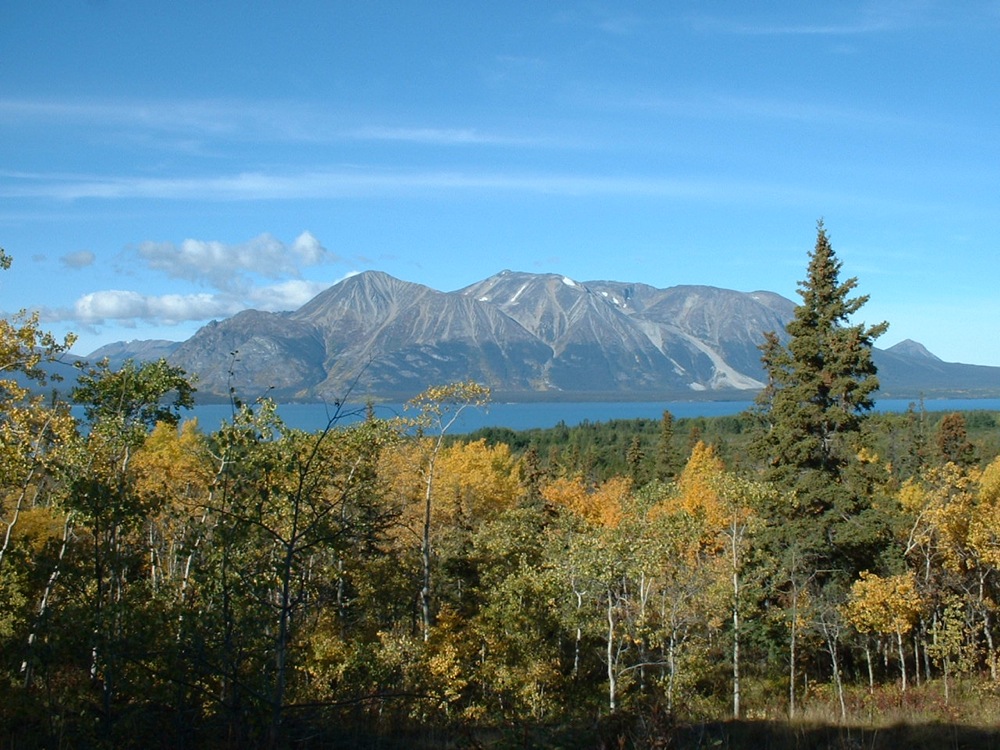
95 km - "Welcome to Atlin" sign; straight ahead is Birch Mountain, to the right is Atlin Mountain. You can see the gravel glacier for which Atlin Mountain is known. |
|
|
|
Atlin Mountain is on the west side of the lake; the community of Atlin is on the east side of the lake, directly across from Atlin Mountain. NOTE: Atlin Lake is 4 miles wide in front of town. |
Do not trust the street signs in Atlin! 97 km - is the intersection of Highway 7 and Discovery Avenue. Highway 7 is also called Atlin Road; and Discovery Avenue is also called Surprise Lake Road. Many roads have several names. CHECK THE DISTANCE. Turn right to go into Atlin towncentre. Or... if you want to drive south on Warm Bay Road then turn left at the intersection - drive half a km. Turn right at Warm Bay Road (which Google Earth calls O'Donnell Road) and which doesn't have a sign anyway! If you have successfully turned onto Warm Bay Road, you will pass Atlin School on the left within the first half km. See map at bottom. If you think you're lost, STOP. The farther you go, the more lost you will be, and the fewer houses there are. If you need directions, stop and ask. Cell phones work in the Atlin area but might not work if you get farther away from Atlin. If you are looking for someone who lives in the community, just ask. We're a small place; we know each other. |
|
|
|
NOTE: Radio transmitter station - radio station CBC AM Whitehorse is transmitted to White Mountain near Jake’s Corner, and retransmitted on 90.1 FM to Atlin. We also get Christian Radio on 100.7 FM. |
 |
|
Travelogue for Warm Bay Road |
|
|
Distances are calculated from the north end of Warm Bay Road, at the intersection of Discovery Avenue. There are very few street signs. Many streets and roads are not labelled at all. Some are referred to by more than one name. Sometimes Discovery Avenue is called Surprise Lake Road. On Google Earth, Warm Bay Road is called O'Donnell Road. Distances are approximate. Distances are in Kilometres. One km = 0.6 miles. Therefore 50 km per hour is 50 x 0.6 = 30 miles per hour. |
|
|
Slow to 30 km (18 MPH) when in the school zone. 2.5 entrance to the Pine Creek Subdivision on left. 3.0 Slow to 20 km at Pine Creek Bridge. |
|
|
3.1 Pine Creek Campground on right. Camping sites for tents and small RV’s; some pull-through sites on upper portion; some walk-in tent sites on the downhill portion overlooking Pine Creek. Picnic tables, outhouses, fire pits; some firewood available; no water (a drinking water spring is at km 4.8), no plumbing, no electricity, no telephone service. Fees are payable at any business in town. Please practice bear-safe, fire-safe, no-trace camping techniques. In general, campground is user-maintained. Volunteers from the Atlin Board of Trade maintain the campground once a week. If you’d keep your own site and the public areas clean, it would be much appreciated. If you'd leave it cleaner than you found it, we'd love yah! |
|
|
|
|
|
4.0 Monarch Mountain Road on left (there is no sign for it), leads uphill. Residential area only. No access to Trail. 4.3 Parking lot on the right for Monarch Mountain Trail, uphill to the left; Pine Creek Beach, downhill to the right. 4.8 Drinking water spring 5.0 Slow to 20 km at Suicide Hill and gravel pit. Stay right. 9.2 Taxgoon Road – entry to Five Mile Reserve 12.2 Lookout for Llewellyn Glacier 12.4 Sidka Tours – uphill to the left 13.2 to 16.3 Slow – road is curvy and has steep grades up and down. Stay right. 16.3 McKee Creek – site of the last hydraulic gold mining in Atlin - 1970’s. Note the erosion of the banks. 20.0 Palmer Lake sign for BC Forest Service – small area for overnight camping, user-maintained, pike fishing, swimming, wildlife viewing. Canoes and kayaks are ideal here. 23.3 Warm Bay sign for BC Forest Service – lakeside area for overnight camping, user-maintained, wildlife viewing, too cold to swim. Canoes and kayaks are ideal here along the shore. Note: Warm Bay is called that because outflow from the Warm Springs flows into Warm Bay, raising the temperature slightly, in theory. 24.0 Warm Springs at right is privately owned. Please respect their privacy. Thanks. 24.3 Warm Springs entrance at left – Privately owned. Definitely not a camp site. (Warm Bay and Grotto campsites are nearby.) Look for any signs that indicate if you are or are not welcome. If you are allowed to enter, treat the Warm Springs pool with respect. Use the outhouses provided. This pond is not a bathtub – no soaps or shampoos please! Soaps cause algae buildup and contamination of the water. Use at your own risk. If you’d like to take some watercress home for dinner, do not pick it from the warm sluggish waters of the Warm Springs due to risk of bacterial contamination. Go to the Grotto and pick it from the cold fast-running water. 27.1 Grotto sign for BC Forest Service - overnight camping, user-maintained, wildlife viewing, watercress at the Grotto. |
|
|
Travelogues are © Carolyn Moore. Please feel free to print copies for your own use. |
|
|
|
|
_ |

